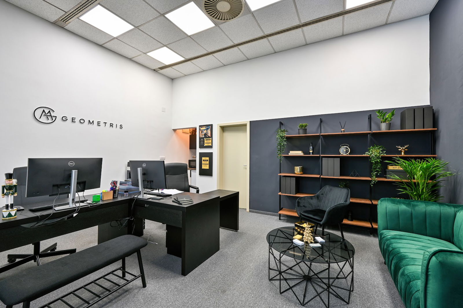
Geobiro d.o.o. - PJ Sarajevo
Geobiro doo - High-Quality Surveying and Geospatial Solutions
At Geobiro doo, we offer a comprehensive suite of geospatial services designed to meet the varied needs of businesses worldwide. Celebrating over three decades in the industry, we pride ourselves on delivering high-quality, reliable geospatial solutions that cater to the specific requirements of our clients.
Our Service Offerings
| Service Type | Description |
|---|---|
| BIM Services | Creation of 3D BIM Ready models utilizing point cloud data through advanced software solutions like Revit and Archicad. |
| Measured Building Survey | Generation of up-to-date 2D designs from point cloud data, suitable for reconstruction and restoration projects. |
| Laser Scanning | Rapid collection of spatial data through advanced 3D laser scanning techniques to capture the current state of structures accurately. |
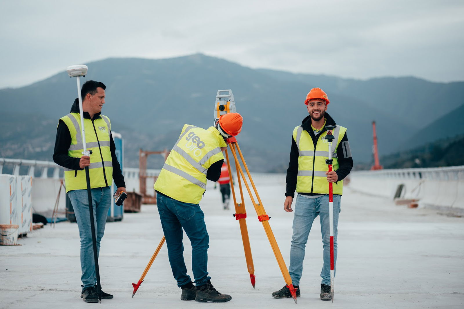
| Engineering Geodesy | Providing geodetic support essential for the design and execution phases of construction projects. |
| Monitoring Services | Systematic monitoring of building movements to ensure structural integrity and inform geodetic base projects. |
Our Expertise and Commitment
Our dedicated team consists of over 90 skilled professionals in various fields, including geodesy, construction, and architecture. We continuously strive for excellence and quality in every project we undertake.
Geobiro is equipped with the latest technology and holds certifications in quality management systems including ISO 9001:2015, ISO 14001:2015, and ISO 45001:2018, further validating our commitment to providing superior services.
Join Us
If you are looking for top-tier geospatial solutions or wish to join our expert team, we invite you to get in touch with us. Let’s plan your next project together!
- ponedeljek 8. do 16. ure
- torek 8. do 16. ure
- sreda 8. do 16. ure
- četrtek 8. do 16. ure
- Petek 8. do 16. ure
- sobota Zaprto
- nedelja Zaprto
 Google
Podobne storitve