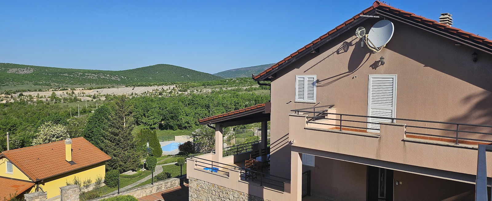
Dinara Trail Start
Preveri vsa mnenja, ocene, odpiralne čase ter kontaktne podatke za Dinara Trail Start,
pohodniško območje
v
mestu kijevo.
Dostopnost
- Dostop za invalidske vozičke: false
- Parkirišče dostopno za invalidske vozičke: false
Aktivnosti
- Pohodništvo: Da
Udobnosti
- Piknik mize: Da
Hišni ljubljenčki
- Dovoljeni psi: Da
 Google
Google
Google
Google
Google
Ciekawy szlak, z fajnymi widokami.
Google
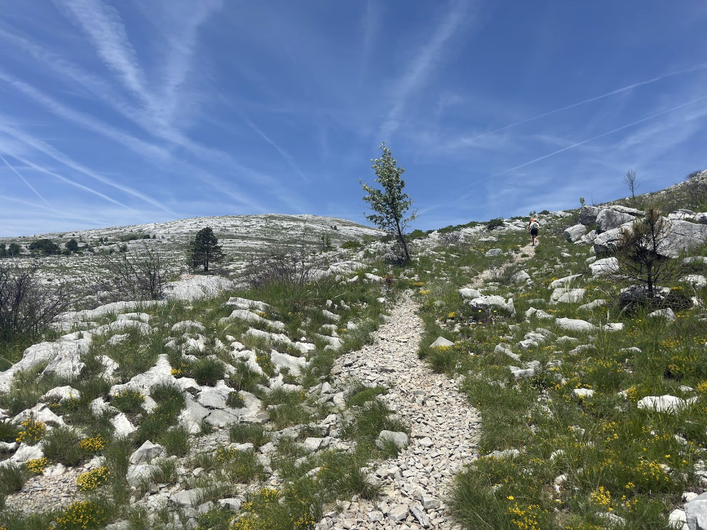
Miejsce gdzie można zaparkować i zaczyna się szlak na dinara najwyższy szczyt Chorwacji . Trasa do pokonania do ok 8 km
Google
Przyjemny szlak, po drodze są dostępne schrony. Szlak jest długi, więc warto zaopatrzyć się w zapas wody i prowiantu, szczególnie w upalne dni. Spokojne przejście z przerwami zajęło około 8 godzin. Oznakowanie szlaku dobre.
Google
Google
Vrh 🏔️
Google
Google
Google
First I would like to mention that the location of this pin is not accurate. You will find free parking spots just outside the fence of Prenoćište Glavaš, that is also where you can start the hike from. The trail is well marked and the distance to the summit (Sinjal) was about 8,3 km (not accurately measured) and took us less than 5 hours including a 40 minute coffee and sandwich break. Hiking back down only took us 2 hours and 45 minutes. So about 7 hours in total, but I think you should estimate between 7-10 to the summit and back, depending on the weather conditions of course. There were two locations on the trail were you would have a possibility to fill up on water, but we hiked March 6 during spring and lots of snow still melting, so I would not count on water being there in other seasons.
Google
Podobne storitve